“巅峰使命”珠峰科考于2022年4月28日全面启动,第二次青藏科考队联合西藏登山队,组织了西风-季风协同作用、亚洲水塔变化、生态系统与生物多样性、人类活动变化、地球动力学勘测等5支科考分队的16个科考小组共270余名科考队员参与了此次活动。“巅峰使命”珠峰科考首次应用先进技术、方法和手段,创造了多项科学考察研究的世界纪录:在海拔8830米成功架设了世界上海拔最高的自动气象站,首次建成了梯度联网的巅峰站,实现了数据实时传输,成为地球之巅科学灯塔;首次利用高精度雷达测量了珠峰顶部的冰雪厚度并获得连续冰雪厚度剖面准确数据;首次取得海拔梯度间隔100米样品支撑的珠峰顶部冰雪样品;采用国内自主研发的先进仪器首次获得珠峰地区地面到上空39公里的臭氧浓度及温度、湿度、风速与风向的垂直变化;首次利用直升机观测拉萨-珠峰地区大气温室气体浓度;创造了浮空艇环境观测的9032米最高海拔世界纪录。“巅峰使命”珠峰科考是自2017年第二次青藏科考启动以来学科覆盖面最广、参加科考队员最多、采用的仪器设备最先进的综合性科考,是人类在珠峰地区开展极高海拔综合科学考察研究的一次壮举。
Highest weather station set up on Qomolangma

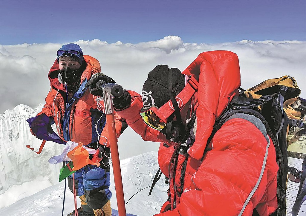
Members of the Chinese scientific expedition team reach the summit of Qomolangma on Wednesday, setting up a weather station on the world's highest mountain. SONAM DORJE/XINHUA
Chinese researchers reached the top of Qomolangma on Wednesday and they installed the world's highest automatic weather station at an altitude of 8,800 meters to study the effects of climate change on the environment of the Qinghai-Tibetan Plateau.
The feat allowed Chinese scientists to directly collect data for the first time from the summit of the world's highest mountain, known as Mount Everest in the West.
It also marked a crucial milestone in China's second comprehensive scientific expedition to the plateau, which began in 2017, the scientific expedition team said.
Collecting and studying data from Qomolangma, at 8,849 meters above sea level, and its surroundings will yield valuable insight about the condition of local glaciers and mountain snow, which have been the water source for over 10 major rivers in Asia that nurture more than 2.5 billion people, the journal Science of the Total Environment reported.
It will also help scientists monitor and understand the global monsoon system and other important weather mechanisms so experts and policymakers can make informed decisions regarding climate change, biodiversity preservation and sustainable development.
At 12:46 pm on Wednesday, a team of 12 researchers from the Chinese Academy of Sciences' Institute of Tibetan Plateau Research and other institutions reached the top of Qomolangma, where they drilled an ice core and measured the thickness of the ice sheet using high definition radar.
Yao Tandong, a noted glaciologist and leader of the expedition, said Chinese scientists established eight weather stations from 5,200 to 8,800 meters above sea level as they traveled up the mountain.

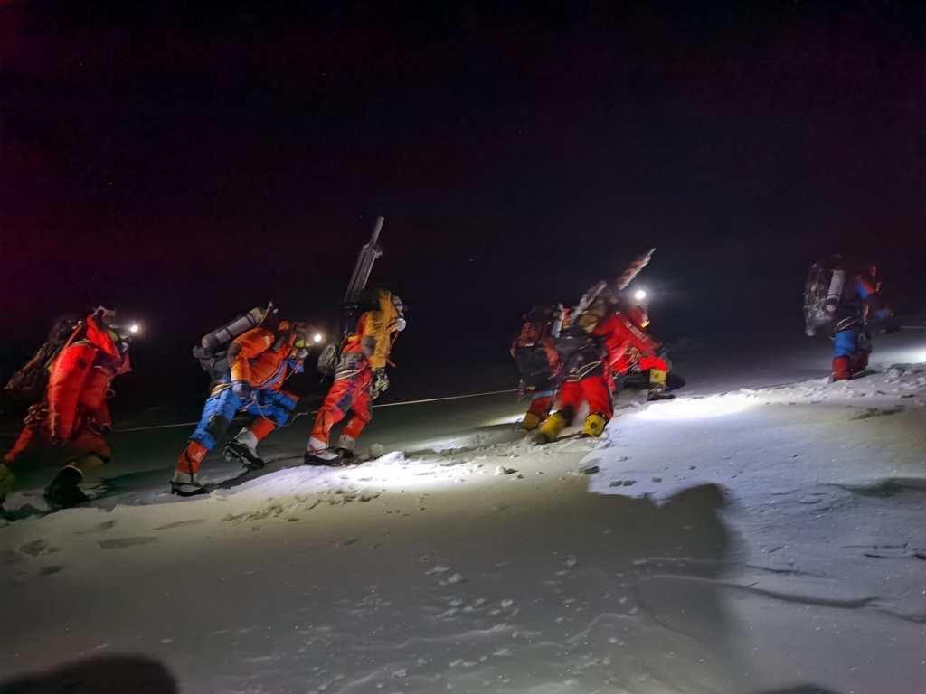
Members of the Chinese scientific expedition team set off to the summit of Qomolangma on Wednesday. [Photo/Xinhua]
Four of the stations were set up at an altitude higher than 7,000 meters. The installation at 8,800 meters is the world's highest automatic weather station, he told Xinhua News Agency.
This year, scientists will use advanced technologies to examine the changing environments and ecosystems on the mountain and the Qinghai-Tibetan Plateau, as well as study the effects of human activity and climate change on the region, Yao said.
Since the mid-20th century, China has launched multiple research expeditions to Qomolangma, but due to limited resources and technologies, most of the studies were done at an altitude around 5 to 6 kilometers, and there was hardly any environmental data from above 8 kilometers, he said.
As a result, many key scientific questions were left unanswered, such as whether global warming can melt the ice at the top of Qomolangma, and how biodiversity, the ecosystem and composition of air pollutants can change as altitude increases to extreme heights.
China launched its first large-scale scientific expedition in the Qinghai-Tibetan Plateau in 1973, with the goal of exploring and recording characteristics of the region, Yao said. The second expedition aims to build on that foundation and figure out how these features change over time.

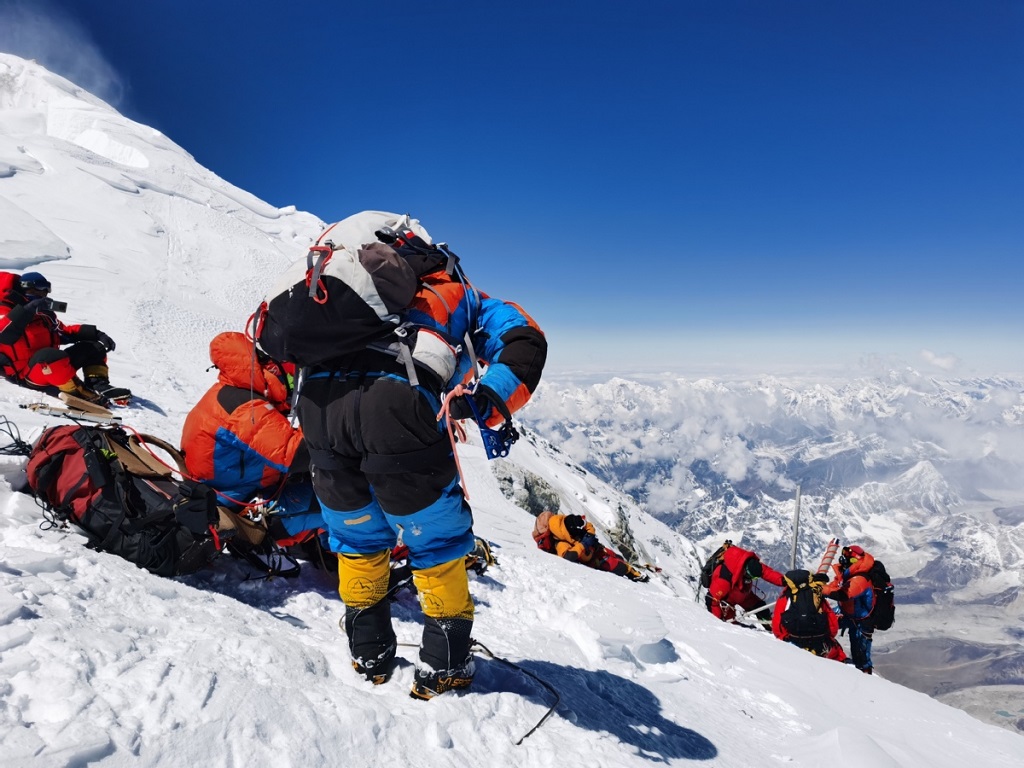
Members of the Chinese scientific expedition team reach the summit of Qomolangma on Wednesday. [Photo/Xinhua]
Climbing Qomolangma is a critical objective for the second expedition. To tackle this mission, Yao said they have organized a massive party consisting of 16 teams and over 270 scientists and personnel, some of whom trained for over two years for the undertaking.
The party is also equipped with the most advanced scientific instruments available, which is a far cry from the first major scientific expedition decades ago, he said. "In the past, the three most commonly used tools for students were rock picks, compasses and notebooks. Only instructors could use cameras and barometers."
Now, researchers have access to drones, unmanned surface vehicles, weather balloons, airships and even helicopters, Yao said.
With the new equipment, along with strong government support and decades of hard work by scientists, China has become a global front-runner in fields such as glaciology, climate change and ecological studies related to the Qinghai-Tibetan Plateau, Yao said.
"As our research continues, I believe we will have more discoveries and developments to share with the world," he said.

Members of the Chinese scientific expedition team reach the summit of Qomolangma on Wednesday. [Photo/Xinhua]

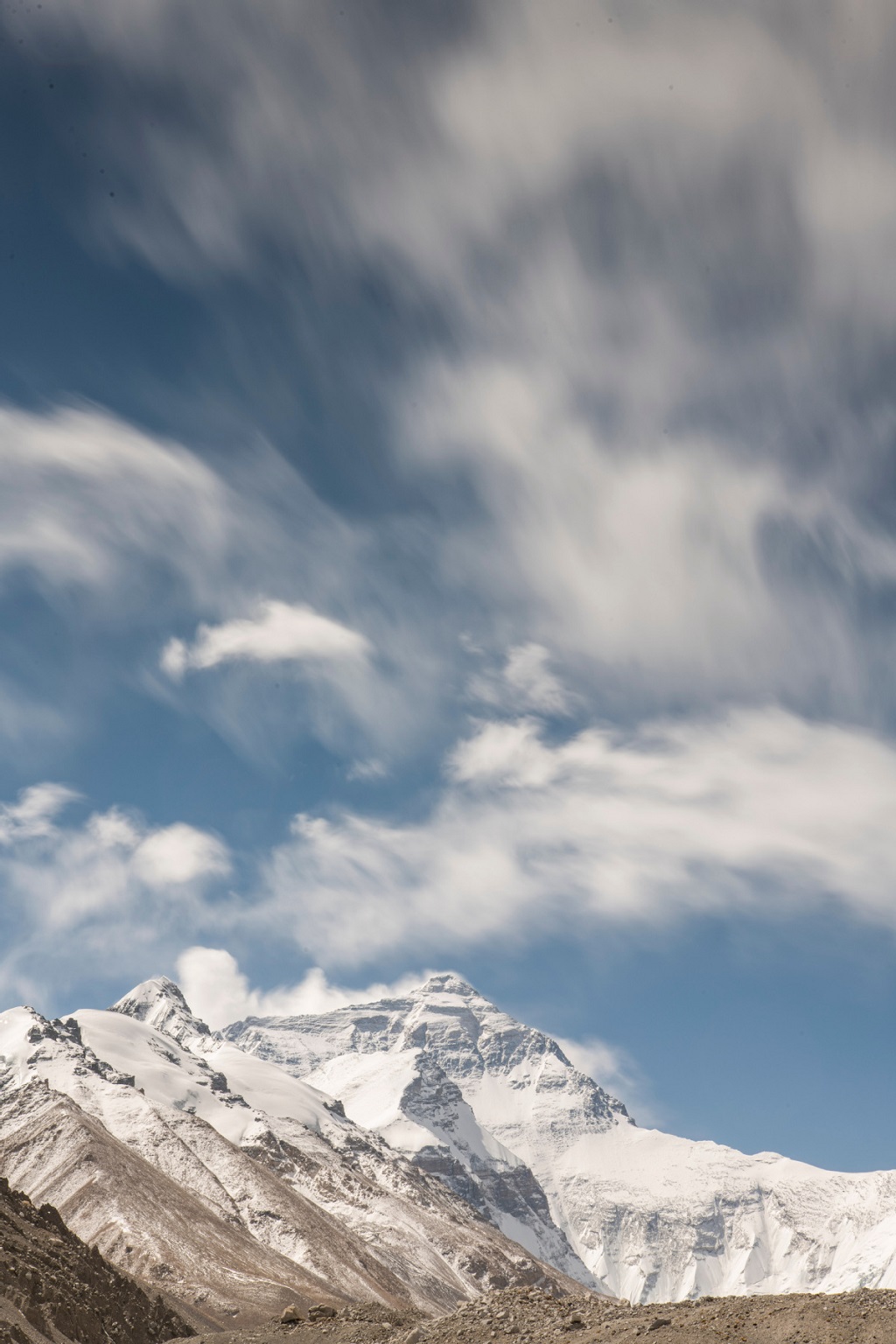
A photo of Qomolangma taken on Wednesday. [Photo/Xinhua]
Source:http://www.chinadaily.com.cn/a/202205/05/WS62730a27a310fd2b29e5a94a_1.html